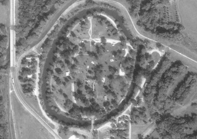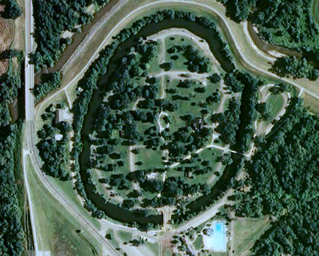

This is a two and a half megabyte JPEG image of Winfield from high altitude. It was taken October 2, 1991. The image expands to about 25 megabytes when loaded into a photo package like Photoshop or equivalent. Since it is not practical to load this file directly into your browser, I have renamed it with an x on the end, .jpx. This should force your browser to download the file to your computer. Then you can rename it to .jpg and load it into your Photoshop or whatever. It is a lot of fun to zoom and pan around in this image. Resolution is sufficient to see individual houses. It just takes a little time to get oriented since there are no street signs. Today in 2011 you can see all of this in Google Map. Now you can compare and see what it looked like 20 years ago.

back to Maps of Cowley County
Austin Business Computers, Inc. Home Page
Bill Bottorff's Home Page
comments to Bill Bottorff, bbott@ausbcomp.com